Vector maps made with Adobe Illustrator. Our digital vector eps maps are ready to use and they are sent in minutes via email and wetransfer. Thousands of vector maps from city to country maps. Use our directory or search engine to find your illustrator map. More than 10.000 vector EPS maps.
| City Illustrator Maps Vector maps for your projects
Download our vector files for any of our city maps, from streetmaps detailed to area maps. More than 10 000 cities availables of the world | Vector EPS Maps All countries of the world as vector EPS Illustrator files
All our maps has been created via Adobe Illustrator or Macromedia freehand. Maps are templates ready to be edited with your design software. |


Netmaps pioneered the use of Adobe Illustrator® for map-making. Using the graphic tools in Adobe Illustrator, we created a map collection that set the standard for professional quality vector maps for graphic design professionals. Our vector maps give you the flexibility to easily modify the appearance of the map to meet a wide variety of design specifications for any project – print, web, multi-media, and broadcast.
Vector maps: download illustrator files
-

Denver city
65.00 € Select options -
Chicago vector map
140.00 € Select options -
Buenos Aires vector map
140.00 € Select options -
atlanta vector map
795.00 € Select options -
seattle vector map
795.00 € Select options -
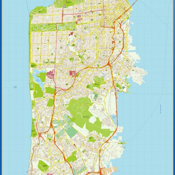
san francisco vector map
795.00 € Select options -
Philadelphia vector map
795.00 € Select options -
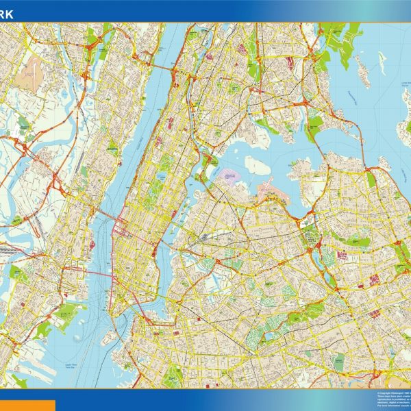
new york vector map
795.00 € Select options -
new york metropolitan vector map
1,495.00 € Select options -
los angeles vector map
795.00 € Select options


| Powerpoint Maps for Presentations You need to improve any presentation with maps. Take our editable maps for Powerpoint or Open Office
| Maps for your company Bespoke maps. Promotional Projects, Atlases. Any project where you need a map just let us know. From country maps to ZIP postal codes maps from any country of the world.
|


-
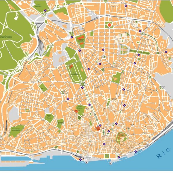
Lisboa vector map
140.00 € Select options -
Seville vector map
140.00 € Select options -
Barcelona vector map
140.00 € Select options -
Saint Petersburg vector map
140.00 € Select options -
Lucca eps map
75.00 € Select options -
Santiago de compostela vector map
140.00 € Select options -
malaga vector map
140.00 € Select options -
madrid vector map
140.00 € Select options -
granada vector map
140.00 € Select options -
cordoba vector map
140.00 € Select options -
barcelona vector map
140.00 € Select options -
Valletta vector map
140.00 € Select options